CALLER TIMES WATER LEVEL PREDICTIONS
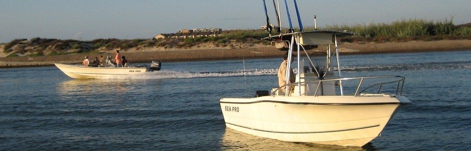
A prediction model for the Corpus Christi Caller Times newspaper readers and the Coastal Bend public. These predictions can be used to help schedule your fishing trips. The predictions are implemented for three stations around Coastal Bend.
You will find below water level predictions at three locations in the Coastal Bend: on the coast (Bob Hall Pier), in Corpus Christi Bay (Ingleside) and in the Upper Laguna Madre (Bird Island Basin).
NOTE: Predictions are generated on-the-fly. It may take a minute for the graph to load. Please be patient.
Graph with Constantly Updated Predictions
|
|
Water levels are predicted using artificial neural network models based on past measurements and atmospheric predictions. The accuracy decreases as prediction length increases. Equipment malfunction and unusual weather events can lead to lower accuracies. Use at your own risk.
Note to Fishermen: The graphs above can be used to help you schedule your fishing trips. Currents will be the strongest when the water levels change most rapidly. Select the curve for the location closest to your planned fishing trip and look for times when water levels change rapidly. These should be be good times for a fishing trip. Please send us feedback if you can help us refine this tip.